Wednesday, December 30, 2020

In which the southern coast struts its stuff (Iceland part IV).


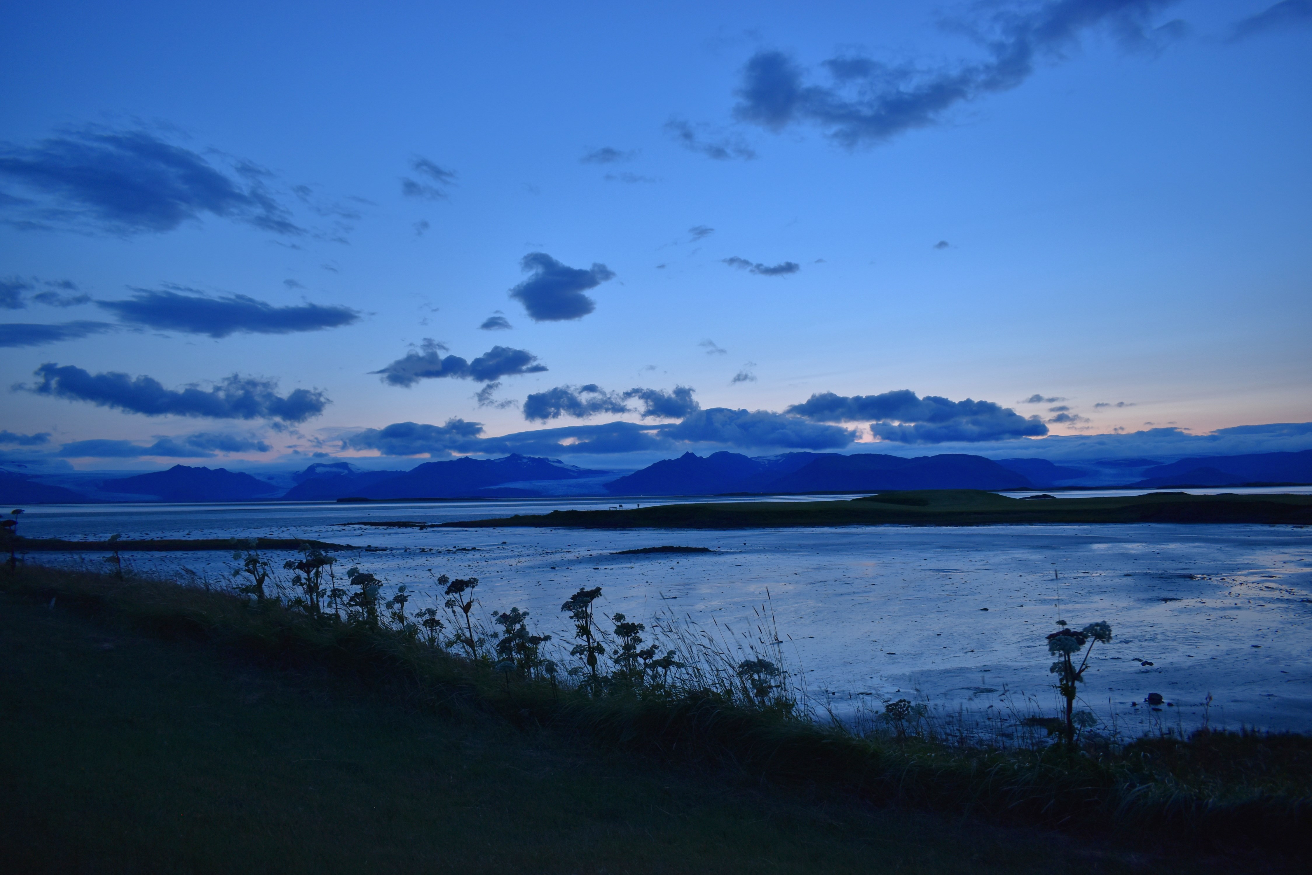
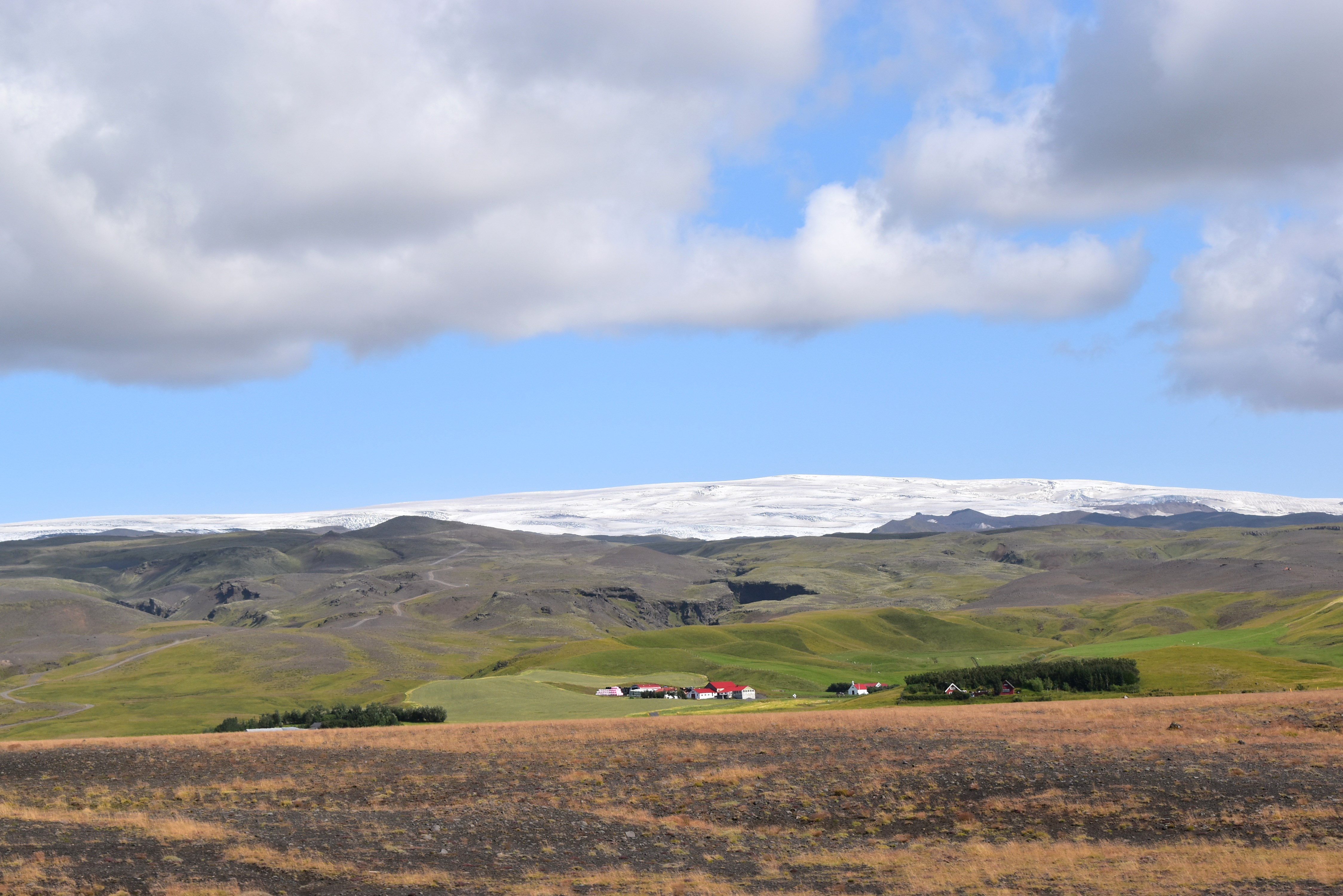
Driving east along Iceland's southern coast, August 2019, we were greeted with one stunning landscape after another. To the left there are dramatic, jagged cliffs looming over soft, green fields and dairy farms with bright red roofs, backed by snowy glaciers. To the right, flat flood plains opening out to the ocean as far as the eye can see. 


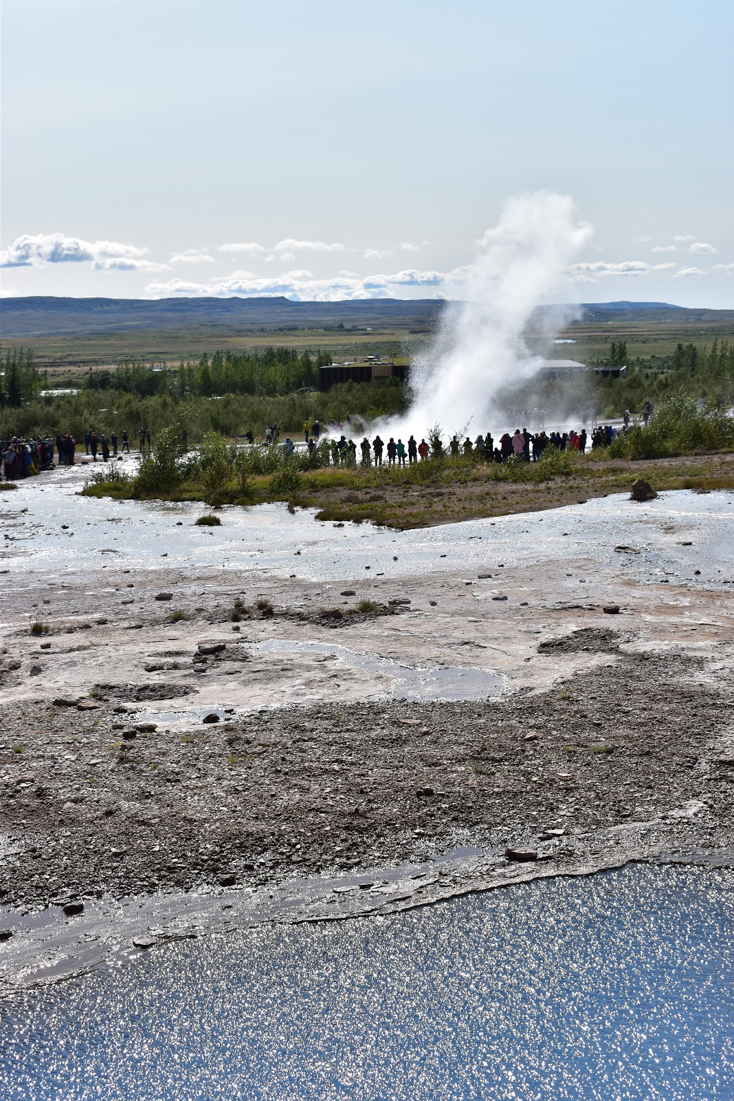
It was along here that we picked up two hitchhikers, nice young women from Finland off on an adventure who were grateful for a lift to Vik. Before dropping them off in the little town, we all took a detour to Dyrhólaey, a little peninsula overlooking the spikey rock formations and black sands of the Reynisfjara, known as one of the most beautiful and dangerous beaches in the world.


Dyrhólaey also happens to be home to one of Iceland's many puffin colonies, and I was delighted to be able to watch the funny, wee little birds go about their business against such a scenic backdrop, with the black beach and blue, blue water on one side and flower-filled fields and distant glaciers on the other.


After a picnic on the non-dangerous part of the beach and a restock at the supermarket, we continued east through a miles of moss-covered lava fields towards Vatnajökull, the largest glacier on the island, which we would explore more extensively the following day. The first view of the massive ice cap was thrilling, and we pulled over by some grazing sheep to take it in before continuing along the coastal road to our main destination.


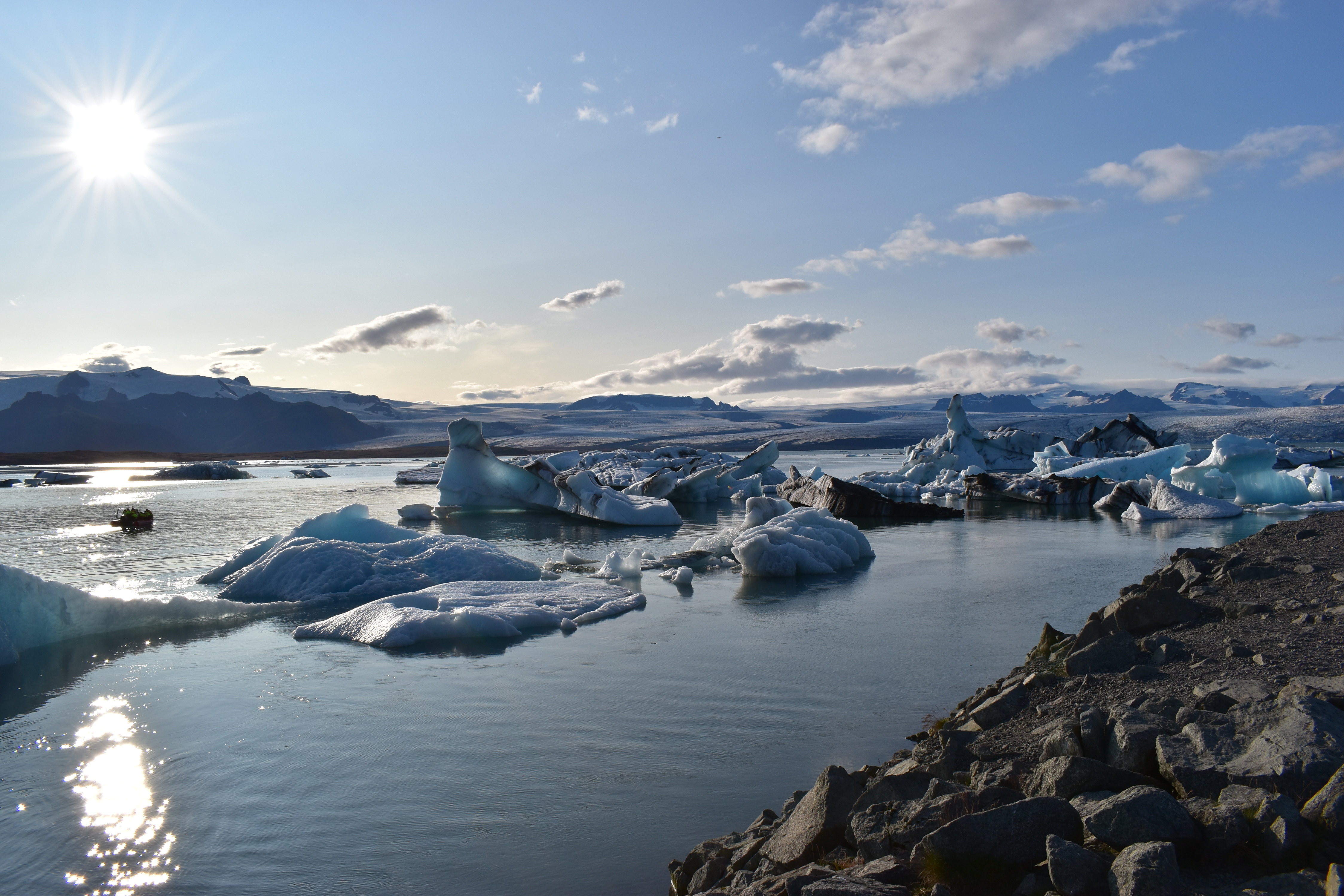
We were headed, as most tourists were, to Jökulsárlón, a glacial lagoon that started forming in the 1930s as the ice cap started to recede. As the ice recedes, parts of the glacier break off and float over the lake to the open ocean, where the fresh and salt water come together. The ice chunks that break off are often thousands of years old and streaked with soot that tell a history of volcanic eruptions over the centuries. This ancient ice comes in a variety of blues and fantastical shapes that are forever changing, floating, flipping as they slowly make their way towards open water.


This is the kind of picture that one usually sees in the ads, showing a stunning, frozen, almost alien landscape:


It is a true and legitimate picture, but also not the whole picture. 

What struck me when we arrived was the contrast between the zoomed in picturesque landscape and its barren, rocky, person-covered frame. It was the height of summer, in beautiful weather, and slowly but surely, everything was melting. 


We'd signed up for a boat tour in advance in order to see these fantastical sculptures up close, and this way Amir could also appreciate someone driving him around for a change. The guides told us the history of the lagoon and plucked a chunk of ancient ice out of the water for us to taste. 


We also learned that the lagoon has quadrupled in size since the 1970s, and has doubled in size in just the last 15 years. How many wonders of the world like this are both created by and being destroyed by global warming?


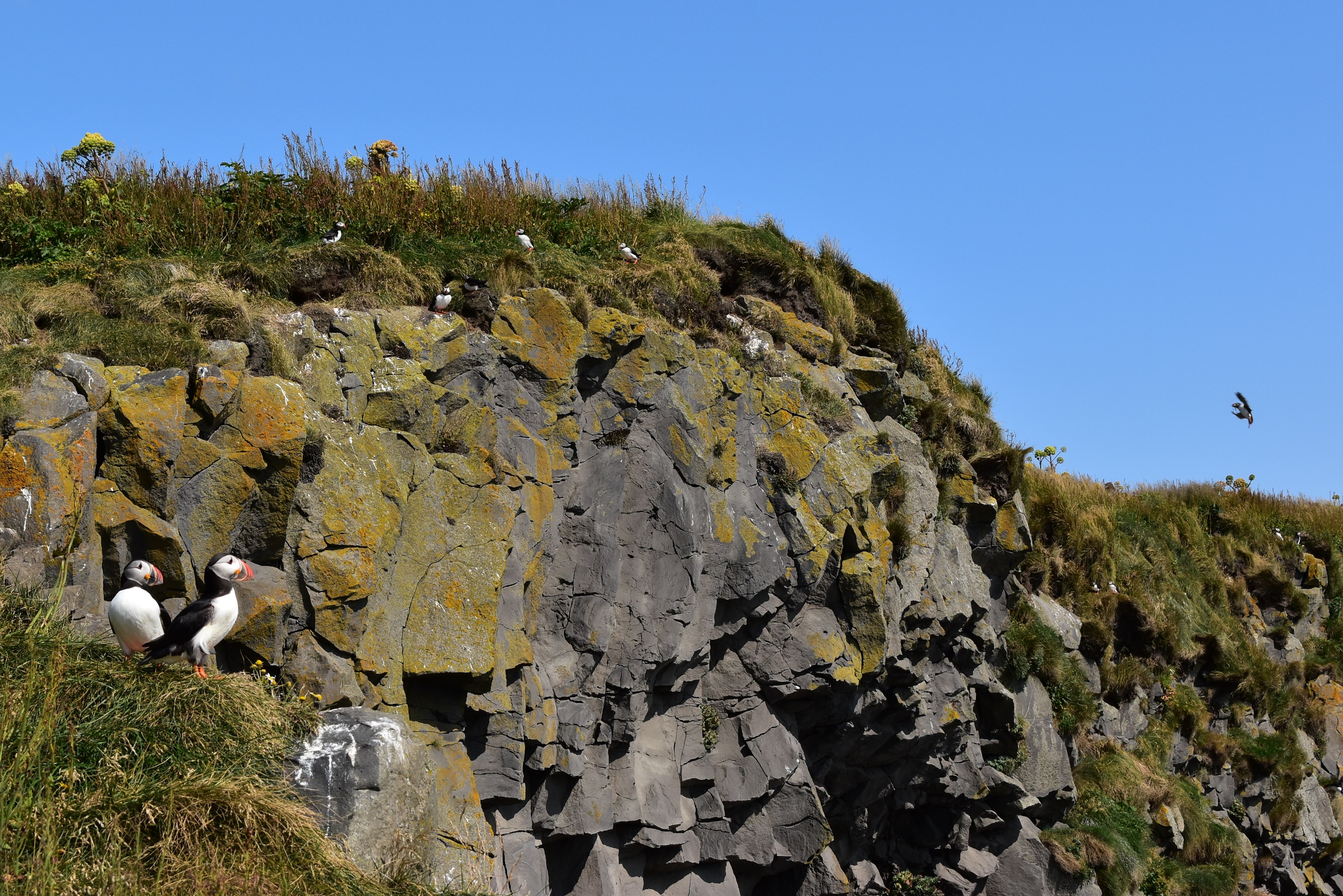
The Arctic terns were zooming about and resting on the ice sculptures.


As the evening sun got lower on the horizon, the tourists dispersed and the ice began to glow in beautiful, bright blue hues. It was so, so magical.


I wanted to stay there all night (or at least until the sun set), but it was already late and we still had to drive a further hour east to our beds. The mist on the glaciers glowed golden as we drove past.


We arrived in the little town of Höfn as the moon rose over the bay and the mountains settled in for a blue night. The wind picked up as we went for dinner at a little restaurant and then sang us asleep quickly after a very long day of driving and magnificent vistas.


Thursday, November 19, 2020

In which water gets exciting (Iceland part III).


For the next day, we'd decided to tackle part of the Golden Circle. I wasn't keen on being around a lot of tourists, but it would be a shame to be so close and not experience some of Iceland's most famous landmarks. 


The first stop was probably the most famous, the Strokkur geyser. Now, I have never been to Yosemite. I had never seen a proper geyser before. The Strokkur geyser is very tourist-friendly in that it erupts reliably every 5-10 minutes, and ranges from 60-130+ feet when she blows. The first couple times we saw her go we were pretty far away, and honestly, I was pretty impressed.


The third time we saw her blow we were standing right next to it, and HOLY MOLY!!!!!! First there's the waiting, the waiting, the antici... pation. She blubbers a couple times and simmers back down. Then without any warning, a half-globe rises and explodes with this almighty blast of a megawhale's blowhole, and you're riding the whale and want to hang on for dear life except that then you remember that you're actually standing on the flat ground and not on a whale at all. 


(This video is pretty good.)

Just a ten-minute drive from where the water goes up, there is another magical place where the water goes down. Touristy as it may be, we had to go see Gullfoss, or the Golden Falls. So big, so mighty, so wild, so, so wet! The pictures really do not do it justice. So much water, and it was goin' places.


The last attraction of the day was Þingvellir National Park, not only a gorgeous landscape but also a UNESCO World Heritage site and home to the Alþing -- Iceland's parliamentary site where people from all over the country gathered for two weeks each year from 930 AD to 1798 to discuss laws, trade, and settle disagreements (seriously cool history! Read more about it at the link above).

The park also happens to be the meeting point of the North American and Eurasian tectonic plates, where the two continents meet -- or rather drift apart by about 2 cm per year.  

The journey there went from soft, green fields to barren lava fields covered in ancient moss, always with jagged mountaintops poking at the sky in the distance.


There are several smooth hiking trails through the park, including one cute little waterfall and some internationally renowned scuba diving in the Silfra rift. We walked all around quietly in the afternoon sun. Amir took a nap on a bench. I was awed thinking back on the thousand+ years of significant history that had happened here, from forming democracies to drowning witches. 


On the way home we took a detour to Þingvallavatn, the largest natural lake in Iceland. It looked like Maine and I felt right at home by its clear, cold water.


The trip back to our cabin took a little over an hour, thankfully free of tourist traffic and full of flat sun and dramatic shadows so late in the day. There was a lot to process -- water erupting up, up, up and crashing down, down, down and gently lapping on the mossy stones at the edge of the continent. 


One more water feature to close out the post, and one more Sandwich of Champions.


We were sad to say goodbye to our little cabin, but excited to travel west and see what new adventures were in store. The one main ring road on the island is easy to follow and generally kind to little rental cars like ours, though we were often overtaken by massive Megajeeps headed to the much rougher highland roads in the middle of the country or to the rugged northeast. Someday I would love to see those areas too, but for now I was more than happy just to go straight and marvel at the ever-changing, ever-stunning landscape around us.


The first stop of the morning was the Seljalandsfoss, a 200-ft waterfall dropping over a cliff that originates in the Eyjafjallajokull volcanic glacier (volcano buffs or anyone who intended to fly around Europe in the spring of 2010 will recognize this name).


This waterfall was particularly fun because there was a trail in the cliff that let you walk around behind it, and get soaked if the wind was blowing your way. Very mossy and mysterious back there.


We couldn't stay long because we still had a long way to go before our main destination... Stay tuned.